About TrailTap
TrailTap is a free, community-powered map of drinking water fountains, taps, and refill stations across the UK.
Why we built it
TrailTap was born out of frustration on long rides. As a cyclist, there's nothing worse than running out of water miles from anywhere with no idea where the nearest tap is.
On a long road ride, a bikepacking route, or a multi-day tour, water stops need planning — and that information just wasn't available in one easy place.
We wanted a tool that actually solved this — not an app you need to download, not a paid service, just a fast, simple map you can pull up on your phone before or during a ride to find free drinking water nearby.

What TrailTap covers
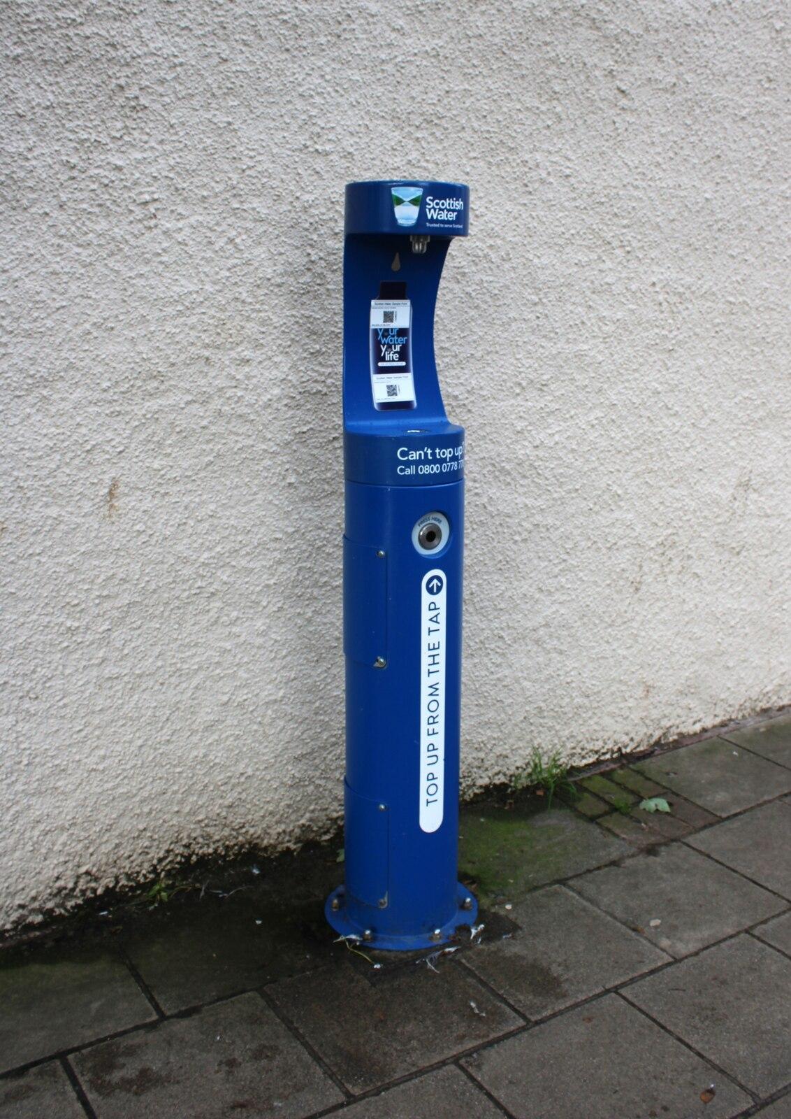
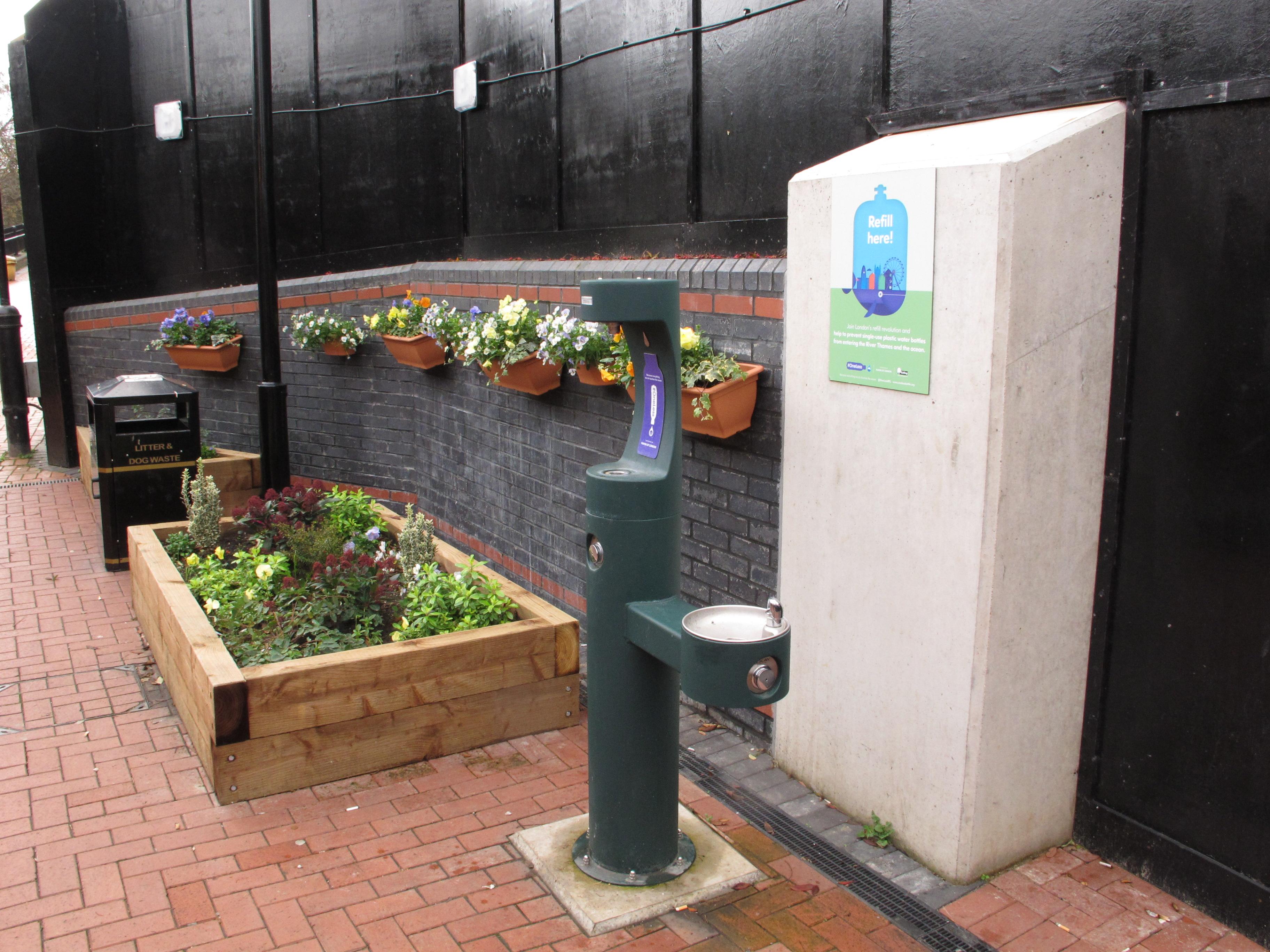
TrailTap maps drinking water fountains, public taps, refill stations, and natural springs across England, Scotland, and Wales.
Every refill point is sourced from OpenStreetMap and verified by the community, with details on access type so you know what to expect before you arrive.
Whether you're planning a long road ride, loading up the bags for a bikepacking adventure, touring between towns, hiking a national route, or just out and about with a reusable bottle, TrailTap helps you stay hydrated without spending a penny or adding to single-use plastic waste.
How you can help
TrailTap is only as good as its data. If you know of a water point that isn't on the map, you can add it directly through the map interface.
Every contribution helps the next person who needs it.